*As of Oct 1, 2 PM local time.*
Severe Flood Watch and Current Conditions
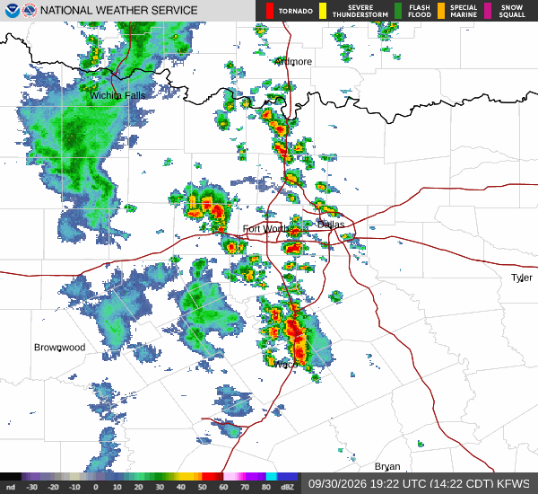
A severe Flood Watch is currently active for the Anna area, signaling a serious risk of flooding due to heavy rainfall. This alert remains in effect until early tomorrow morning. Residents should stay alert for potential water accumulation and avoid travel through low-lying areas if water is present.
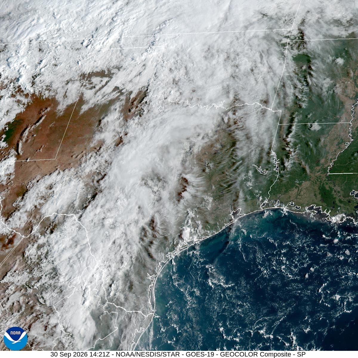
Right now, the air temperature sits at 70 degrees Fahrenheit, matching the feels-like temperature. The atmosphere is extremely saturated, with relative humidity at 100 percent and a dew point of 70 degrees. Light rain is falling under a cloudy sky, accompanied by winds of 7 mph with gusts reaching 30 mph.
The combination of high humidity and steady precipitation creates a muggy, wet environment that will persist through the day.
Today and Tonight Outlook
Showers and thunderstorms are likely to continue before 4 pm, followed by a continued chance of storms later in the day. The high temperature will hover near 75 degrees, while the low drops to around 68 degrees. The chance of precipitation is high at 74 percent, with new rainfall amounts between a quarter and half of an inch possible.
As night falls, the risk of precipitation increases to 90 percent. Showers and thunderstorms are expected to persist, with a chance of storms before 10 pm followed by more activity. Temperatures may rise slightly to around 73 degrees overnight.
Rainfall totals could reach between 1 and 2 inches, which is a significant amount that contributes to the flood risk. Winds will shift to the southeast at 5 to 10 mph.