Back to Weather

5-day forecast / Anna, TX

TuesdayPartly Sunny92° / 74°
WednesdayMostly Cloudy then Slight Chance Showers And Thunderstorms92° / 73° 24%
ThursdayShowers And Thunderstorms80° / 69° 93%
FridayShowers And Thunderstorms78° / 65° 87%
SaturdayRain Showers Likely77° / 64° 62%

Anna Weather: Flood Watch Active Amidst Hot, Windy Conditions - Sep 29, 2 PM

Anna weather, updated every four hours — local forecasts you can trust.

A severe Flood Watch is in effect for Anna. Expect hot, windy conditions today with highs near 92F. Tomorrow brings a chance of storms and potential flooding.

Jules Hardy

September 29, 20262 min read

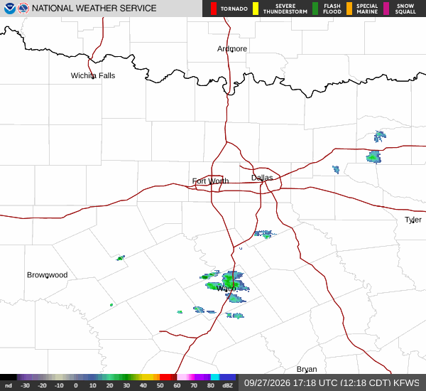
National Weather Service radar for North Texas (KFWS)

*As of Sep 29, 2 PM local time.*

Severe Flood Watch in Effect

Residents of Anna should remain vigilant as a severe Flood Watch is currently active. This alert, issued by the National Weather Service, indicates that conditions are favorable for flooding to occur. While the immediate weather pattern is dominated by heat and wind, the potential for significant rainfall later in the period necessitates caution.

The watch remains in effect until early tomorrow afternoon, meaning residents should monitor local updates closely. Standard safety measures, such as avoiding low-lying areas and staying informed of official guidance, are recommended during this period.

Current Conditions and Today's Outlook

It is currently Tuesday afternoon in Anna, with clear skies and an air temperature of 90F. The heat index makes it feel like 91F, while relative humidity sits at 43% and the dew point is 64F. Winds are blowing from the south southeast at 16 mph, with gusts reaching 20 mph.

For the remainder of today, the sky will remain mostly sunny. Temperatures are expected to peak near 92F, with heat index values potentially reaching 97F. The chance of precipitation is minimal at 1%.

Winds will continue to blow around 15 mph, with gusts as high as 25 mph. Tonight, conditions will shift to partly cloudy skies with a low near 73F. Winds will ease slightly to 10-15 mph, though gusts may still reach 25 mph.
Tomorrow's Forecast and Safety

Tomorrow will begin partly sunny with a high near 91F. However, the atmosphere will become increasingly unstable, with a chance of showers and thunderstorms developing after 4 pm. The overall chance of precipitation is 30%, with new rainfall amounts likely to be less than a tenth of an inch.

Winds will strengthen to 15-20 mph, with gusts up to 30 mph. Heat index values could reach 99F. As the day progresses, the likelihood of storms increases significantly.

Tonight, showers and thunderstorms are likely, with a 70% chance of precipitation. Rainfall amounts between three-quarters and one inch are possible, which aligns with the active Flood Watch. Temperatures will drop to around 71F before rising slightly to 73F overnight.

Given the combination of heat and potential flooding, it is wise to stay hydrated, limit midday exertion, and prepare for possible water accumulation in vulnerable areas.

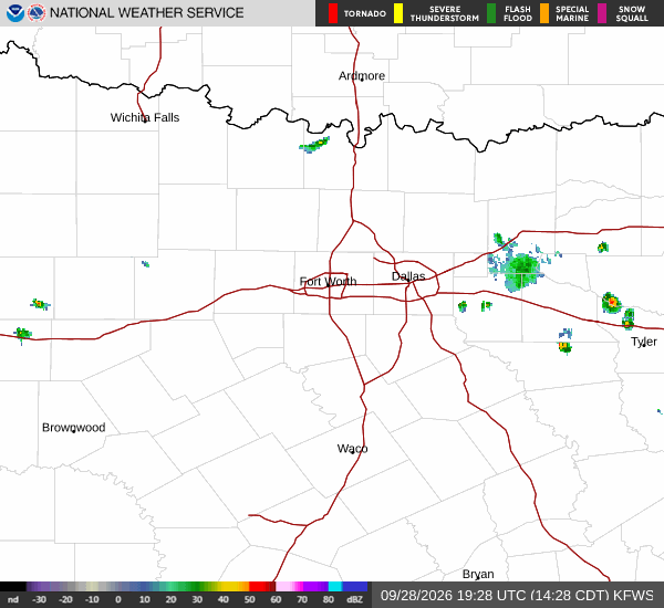
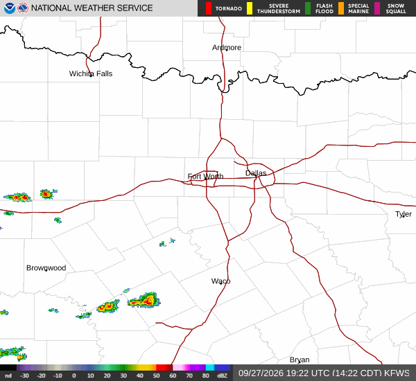
National Weather Service radar for North Texas (KFWS)

Sources

National Weather Service radar

National Weather Service forecast data

Open-Meteo weather data

Share

Jules Hardy

Jules Hardy covers weather, storms, and seasonal life around Anna.

Related Stories

More in Sport